This animated clip begins with a dynamic satellite view of the world map, smoothly zooming and panning to focus on the Middle East region. The precise outline of Iran then emerges, gradually filling with a textured rendition of the Iranian flag. The animation is clean and modern, providing a professional and engaging visual for geographic presentations. This visual effect is perfect for educational content, news reports, business analyses, or any project requiring an impactful introduction or highlight of a specific nation or territory. Its polished movement and clear presentation enhance the viewer’s understanding of geographic focus and national identity.
Explore more high-quality resources in our Graphics & Illustrations library, and pair them with curated Graphic Templates and Web & Site Templates for your digital creations.
📋 Asset Specifications & Compatibility
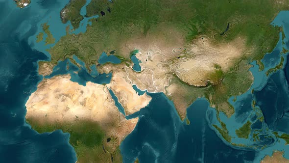
Original creative preview & visual showcase
⚡ High-Speed Direct Cloud Download
Original untouched resource package hosted on 5TB unlimited Google Drive: