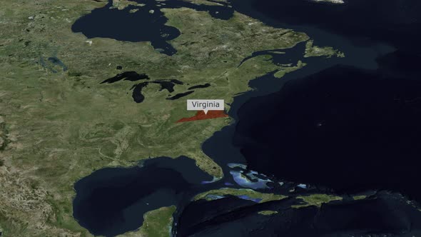
This modern animated clip features a detailed satellite map of North America, smoothly zooming towards the United States. A vibrant red outline precisely highlights the state of Virginia, followed by the clear appearance of a text label identifying "Virginia". The camera continues a subtle zoom into the highlighted region, providing a focused view. This dynamic visual effect is ideal for enhancing presentations, news broadcasts, educational content, or documentaries that require accurate and engaging geographic information. Its clean design and precise animation make it perfect for showcasing specific locations or data points with a professional and informative aesthetic.
Explore more high-quality resources in our Graphics & Illustrations library, and pair them with curated Graphic Templates and Web & Site Templates for your digital creations.
📋 Asset Specifications & Compatibility
Original creative preview & visual showcase
⚡ High-Speed Direct Cloud Download
Original untouched resource package hosted on 5TB unlimited Google Drive: